The real Earth and the legends
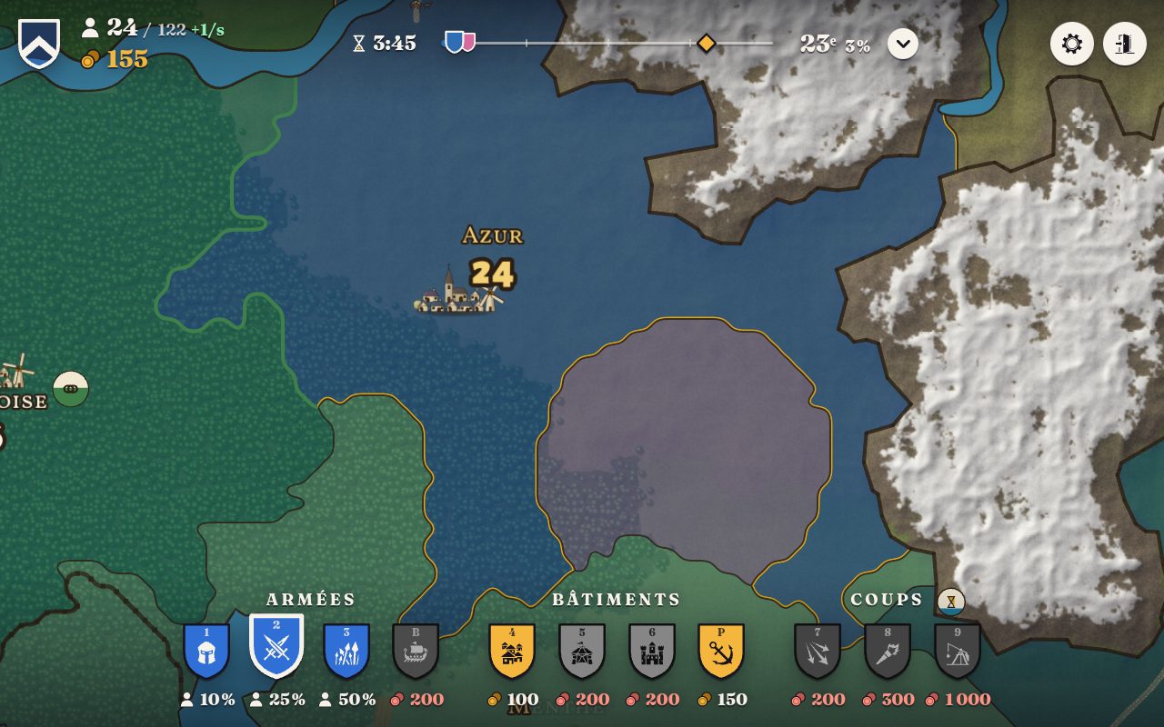
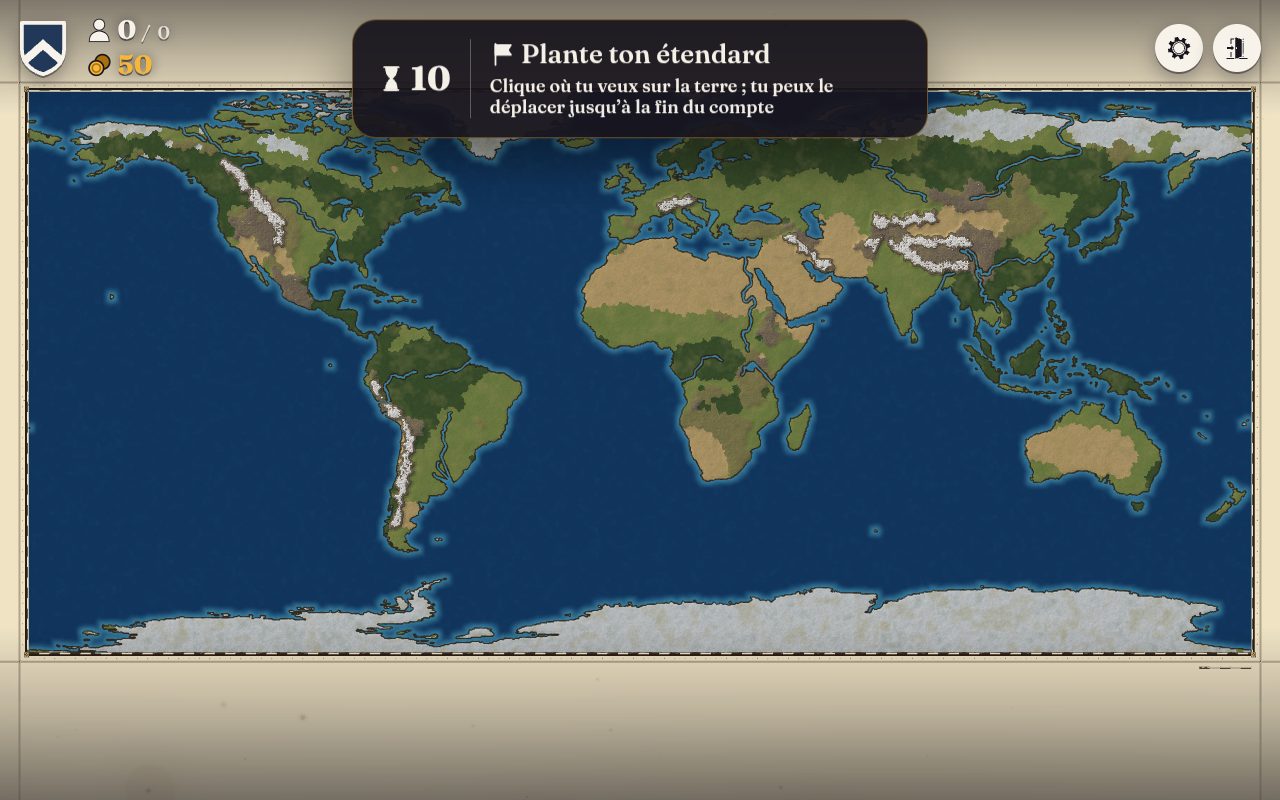
The British Isles, France, Europe and the whole World are played on their real lands: their coasts, their islands, their rivers down to the sea, their woods, deserts and snows where they are, read from satellite data, and their mountains on their true heights. Middle-earth and Westeros join the atlas, drawn by hand. Each map is the same from one game to the next, and loads sooner the second time.
A campaign map
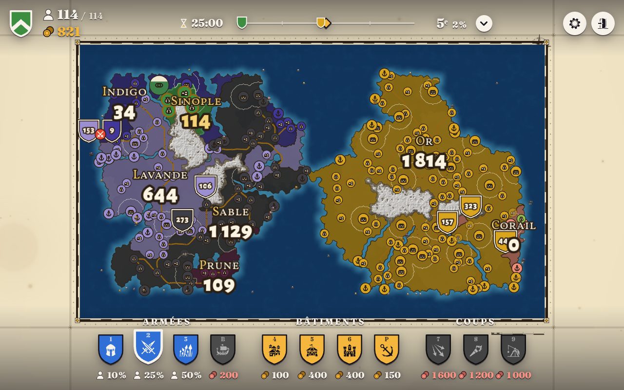
The map is painted in its relief, plains, woods, hills and snowy mountains, and the lords' lands laid on it keeping that relief. It stays smooth even on the whole World. Zoomed out, it becomes the strategist's map: each lord in his colour, his works as icons, his armies as shields with their number.
The sea in play
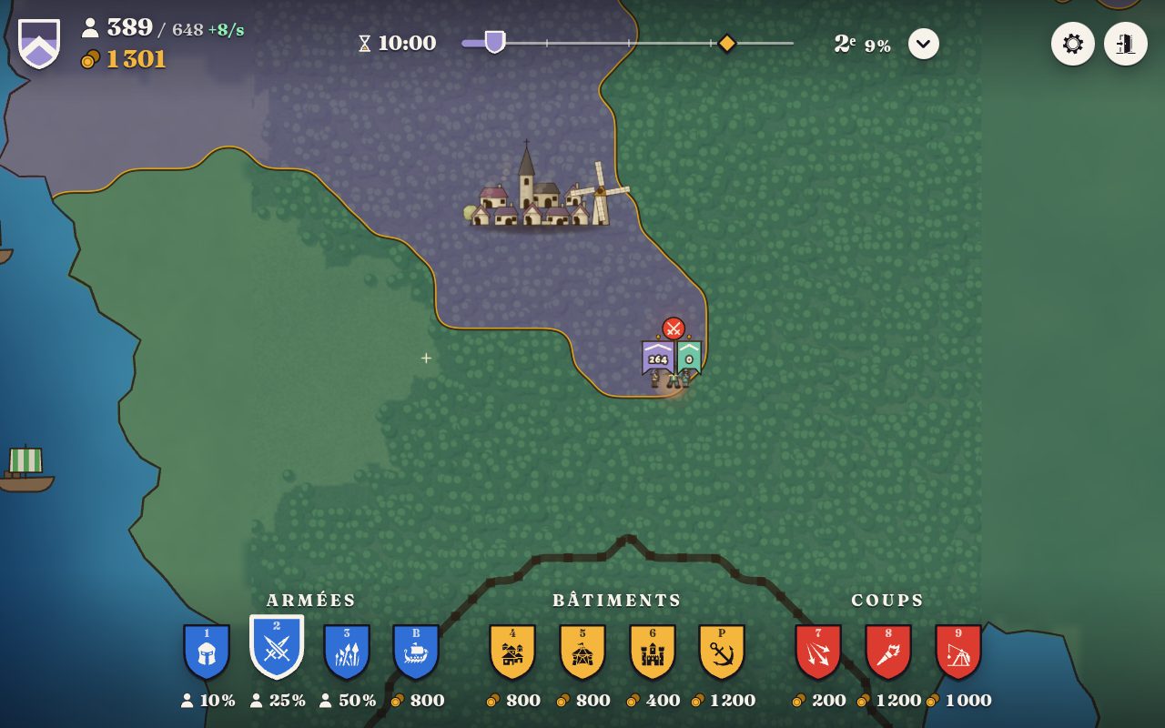
Ports send their merchant ships to the other lords' ports, and fit out warships that patrol, take the merchants and sink the boats. An army crosses the sea or a river by boat from any coast, and two armies meeting on the water fight there as on the land.
A heraldic HUD and a new home
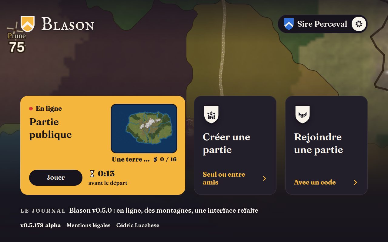
The interface is heraldic, flat shapes laid on the map. The home shows the map large, the public game, creating or joining a game, and on a computer a game of bots is played behind it. Your lord bears a name, changed at the top right, and signing in with Google keeps it from one device to the next.
Sound and bots that press
Every act has its sound, the land its beds, the game its music, adjustable in the settings. And the hard bots take the free land fast and press their neighbours.